Nature Trail Heidiland
GEOTour Garmil – Station 5


Show all 5 images

Description
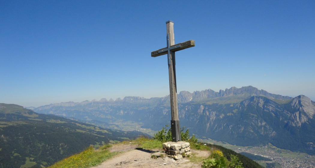
Wonderful, the Garmil has been reached. There is hardly a more beautiful resting place. From here you can even take a look at Africa. Africa? Yes, you heard that right. But only in the geological sense, of course. If you look at the three sisters, the mountain in the Principality of Liechtenstein in the north-east, you will see rock that was formed in the African coastal area of the primeval Mediterranean. This tectonic unit is called the Eastern Alps. We ourselves are standing on the Helvetic, which was formed in the coastal area of Europe by limestone deposits. In the middle deep-sea area of the primeval Mediterranean, the so-called Penninic, clayey mud was deposited. The Falknis above the wine-growing village of Fläsch, for example, belongs to this tectonic unit.
Audio guide
With our new acoustic hiking guide, you will learn interesting facts about geology on the Garmil High Trail. The audio guide is accessible free of charge . In order for the content to be displayed, the "Audio guide" function must be activated in the three-dot menu on the map (bottom right).
Learn more:
https://www.graubuenden.ch/de/news/graubuenden-akustisch-erleben
Opening hours
Note the operating hours of the Pizolbahnen.
Contact
GEOTour Garmil – Station 5
Pizolstrasse, 7323 Wangs
Responsible for this content: Graubünden Ferien.
This content has been translated automatically.