30.03 Davos - S-chanf, ViaValtellina
Medium
32.1 km
10:25 h
1176 mhd
1047 mhd


Show all 4 images

Best Season
Jan
Feb
Mär
Apr
Mai
Jun
Jul
Aug
Sep
Okt
Nov
Dez
Start
Davos
Destination
S-chanf
Coordinates
46.806569, 9.844211
Details
Description
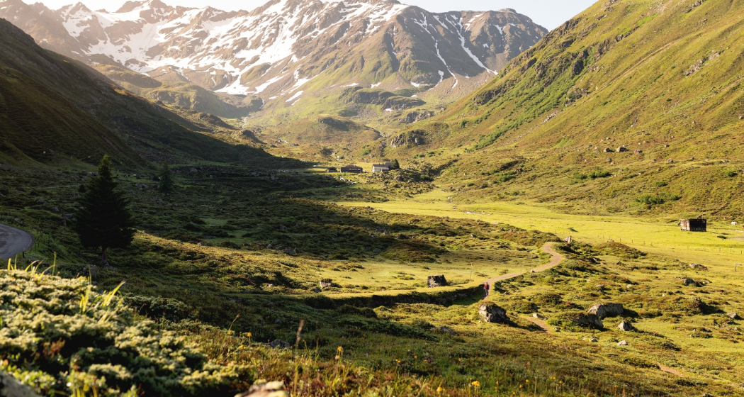
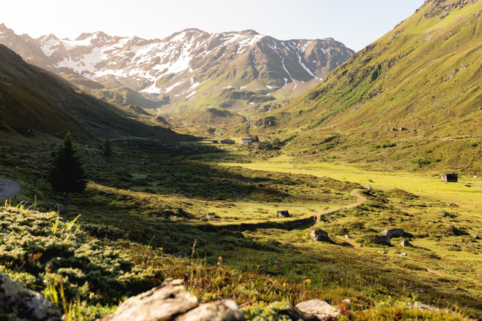
From lively Davos through the peaceful Dischma and Susauna valleys into theEngadine. Passing many impressions left by past trade-route days, the section leads through almost untouched landscapes over the Scaletta-Pass, the highest point of the ViaValtellina.
Geheimtipp
Sicherheitshinweis
snowfields possible into summer months on high-level sectio
Directions
Davos Dorf - Teufi - Dürrboden - Susauna - La Resgia - S-chanf
Directions
Public Transport
By train to Landquart, then by Rhaetian Railway (RhB) to Davos Dorf
Anreise Information
By car to Davos
- Route 28 Landquart - Davos
- Landwasserstrasse Thusis - Davos
Parking
Public parking/multi-storey car parks in Davos
Responsible for this content: Destination Davos Klosters.
This content has been translated automatically.

This website uses technology and content from the Outdooractive platform.

