«Goldgräberweg» Lenzerheide
Difficult
4.9 km
2:25 h
956 mhd
5 mhd


On the trail of the gold diggers of Lenzerheide.
Best Season
Jan
Feb
Mär
Apr
Mai
Jun
Jul
Aug
Sep
Okt
Nov
Dez
Start
Scharmoin middle station
Destination
Parpaner Rothorn
Coordinates
46.742653, 9.573431
Details
Description
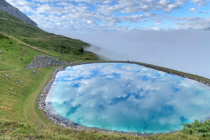
From the Scharmoin middle station you can also reach the Parpan Rothorn via the Goldgräberweg. The trail leads past Alp Scharmoin and the reservoir of the same name. After the lake, the trail climbs steeply up to the Parpaner Rothorn mountain range.
Geheimtipp
We recommend walking the trail from the bottom to the top.
Ausrüstung
Good footwear is necessary and walking sticks make the ascent easier.
Directions
Public Transport
You can reach the Rothorn valley station by post bus from Chur or Tiefencastel.
Parking
A large car park is available at the Rothorn valley station.
Responsible for this content: Graubünden Ferien.


