Heinzenberg Ridge Hike


Show all 12 images

Details
Description
From the starting point at Obertschappina the route follows the Walser Trail to the tree line up on the Glas Pass. From the historical crossing point into the Safien valley the route winds its way across steep mountain pastures up to the Glasergrat ridge. The views across both valleys are impressive. Next comes the descent to Valdiena-Lucka and on to Lüschalp. The lake of Bischolsee with its picture postcard motif is enticingly close as is the lake of Pascuminersee, with the promise of a refreshing dip.
The trail continues up via Alp Bischola to the highest point on the hike at the Tguma at 2163 m, another highlight with incomparable panoramic views of the Graubünden mountain scenery. The narrow panoramic trail across the Heinzenbergergrat ridge provides the connecting link with the Präzer Höhi. The descent to Präz is via the Alp Gronda.
Geheimtipp
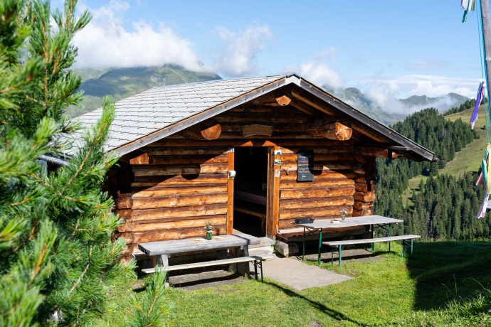
Stop off at the Hirtinnenbeiz on the Alp Bischola.
Sicherheitshinweis
Please note: snow fields are possible on high-altitude sections well into the summer months.
Ausrüstung
Sturdy shoes and weatherproof clothing recommended.
Directions
Directions
Public Transport
The Glaspass and the village of Präz can be reached by PostBus from Thusis. Further information in the SBB online timetable.
Anreise Information
National highway A13, exit no. 21 Thusis-Nord. Then follow the signs to Tschappina or the Glaspass.
Plan your journey with the Google route planner.
Parking
Free parking is available on the Glaspass(location Google Maps).
Responsible for this content: Viamala Tourism.

This website uses technology and content from the Outdooractive platform.


