Stage 7: Via Albula/Bernina

Closed
Medium
24 km
6:30 h
840 mhd
360 mhd


Show all 6 images

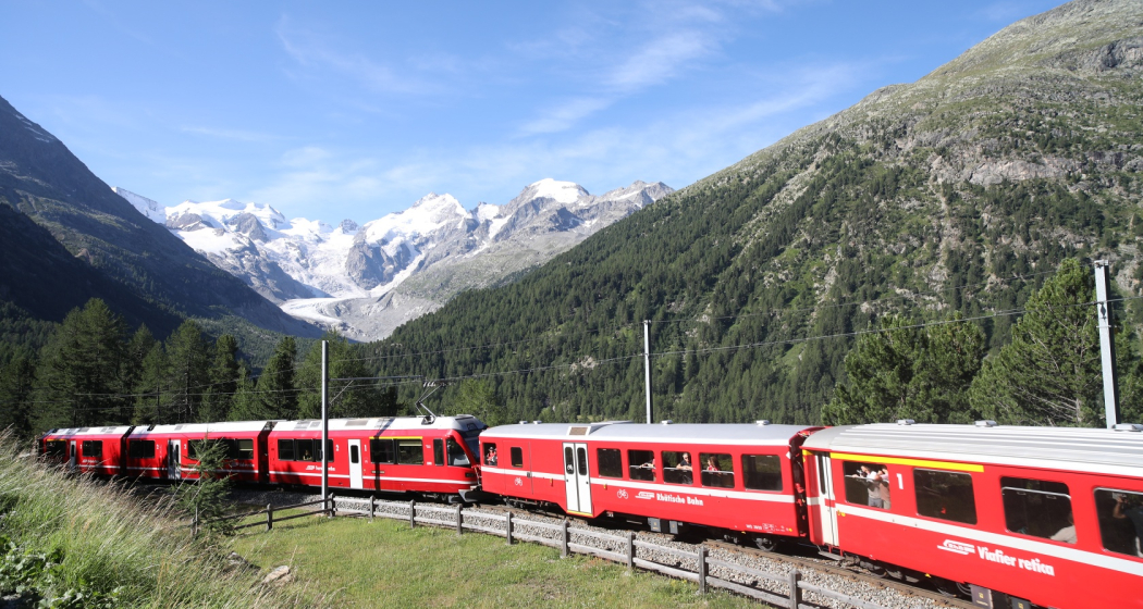
A gentle, steady climb through moor landscapes and Alpine pastures to the Bernina pass. The protected Staz forest, the Pontresina mountain resort, the Morteratsch glacier world and the highest peaks in the Graubünden region make this an unforgettable tour.
Best Season
Jan
Feb
Mär
Apr
Mai
Jun
Jul
Aug
Sep
Okt
Nov
Dez
Start
St. Moritz
Destination
Ospizio Bernina
Coordinates
46.498225871236, 9.846102220432
Details
Description
Through moorland and Alpine pastures to the Berninapass. One highlight follows another. The Stazerwald forest, Pontresina, the Morteratsch glacier world, Lago Bianco-Lej Nair watershed and Graubunden's highest mountain.
Geheimtipp
Beware: snowfields possible into summer months on high-level sections
Sicherheitshinweis
Attention: On high-altitude sections, snowfields are possible until the summer months.
Via Albula/Bernina - book online!
Wander comfortably from accommodation to accommodation and benefit from luggage transport included in the price. Tours can also be simplified by public transport.
Directions
Public Transport
With the Rhaetian railway to St. Moritz
Responsible for this content: SwitzerlandMobility.
This content has been translated automatically.


