Diverse.
Geography


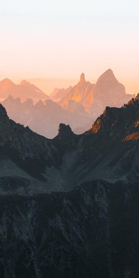
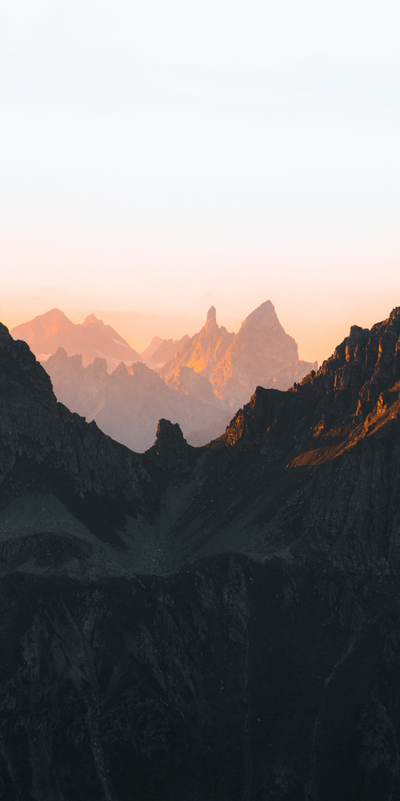
The Graubünden canton is the largest in Switzerland covering one sixth of Swiss territory spanning 7,106 km2. Its rugged landscape is characterized by a combination of mountains and highlands, however such fascinating roller-coaster ride takes its toll on the population count. Indeed, Graubünden is the most sparsely populated canton of Switzerland, with approx. 26 inhabitants per km2. You’ll be sure to find plenty of open space to test your skis on untouched powder snow or enjoy a relaxing hike in peace and tranquillity!
Cornerstone of Switzerland
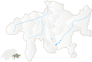
The Graubünden region is the cornerstone of southeastern Switzerland and has common borders with the canton of Ticino to the southwest, Uri to the west, and Glarus and St. Gallen to the east. Switzerland borders with Liechtenstein and Austria (Tyrol and Vorarlberg provinces) to the north, the Italian Tyrol to the east, and Lombardy to the south.
The geographic location of Graubünden makes it a paradise for winter sports enthusiasts, with roughly 90 percent of the region above the 1,200-metre mark. Avers, the highest Graubünden town, sits quietly at 1,963 metres and Avers-Juf, the highest year-round inhabited village, at an astounding 2,126 metres. The lowest point in the region is San Vittore, at 279 metres, whilst the highest peak is Piz Bernina at 4,049 metres and the average cantonal height is 2,100 metres. The population of Graubünden favours life high in the mountains with 43 percent of the population living in altitudes above 1,000 meters while the Swiss average is just 3.1 percent.
Forests and Pastures Wealth
Approximately 40 percent of the canton area corresponds to unproductive vegetation. The broad pastures cover about a quarter of the soil. Slightly more than a quarter (26.7 percent) of the area corresponds to forests, with only 1.8 percent of the area used as agricultural land, meadows, orchards, and vineyards.
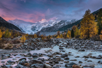
The scenic mountain landscape is enlivened by numerous creeks, rivers, and lakes. Waterfalls and gorges such as the Rhine and the Via Mala Gorge have created unique landscape sceneries. The Graubünden region drains mainly into the Rhine from the Graubünden headwaters of the Anterior and Posterior Rhine. To the east of the country, the Engadine drains the Inn River, which also originates in Graubünden. Beyond the main Alpine ridge lie the Italian-speaking, southern valleys of Graubünden, which drain into the Po River. These are the Misox with Calancatal, the Bergell and Puschlav. On the easternmost part of the country, the Munster valley drains into the Adige River.
Where Three Watersheds Meet
The three basins of the North Sea, the Mediterranean, and the Black Sea meet at their source near the Lunghin Pass above Maloja. From there, the waters flow into the three seas: To the north the Julia River, which joins the Rhine to reach the North Sea, to the south the Maira River, which water flows into the Mediterranean via the Po River, and to the east the Inn River, which flows into the Danube to end in the Black Sea.


