30.01 Gargellen (A) - Klosters (Schlappin), ViaValtellina
Medium
9.4 km
3:35 h
812 mhd
559 mhd


Show all 3 images

Best Season
Jan
Feb
Mär
Apr
Mai
Jun
Jul
Aug
Sep
Okt
Nov
Dez
Start
Gargellen (A)
Destination
Klosters (Schlappin)
Coordinates
46.970662, 9.918753
Details
Description
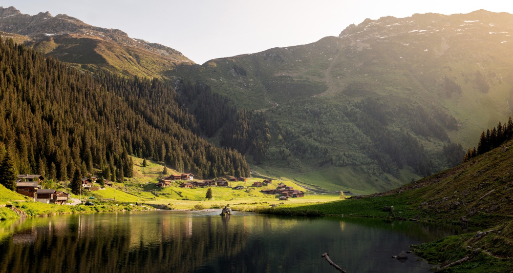
From Montafon over the Alpine pastures of Valzifenz and the 2202m-high Schlappiner Joch to the former Walser settlement of Schlappin in Prättigau. Interesting introduction to the history of Montafon in the Schruns Local History Museum.
Geheimtipp
Sicherheitshinweis
On high-altitude sections, snowfields are possible until the summer months.
Directions
Public Transport
Stage can be simplified by public transport.
Responsible for this content: Destination Davos Klosters.
This content has been translated automatically.

This website uses technology and content from the Outdooractive platform.

