724 Val da Camp


Show all 16 images

Details
Description
In Sfazù the trail climbs as it follows the road. After the initial climb it reaches Buril before continuing gently upwards to the next settlements at Salva, Mottacalva, Lungacqua and Camp. Here the trails fork to the Lagh da Saoseo and the Lagh da Val Violavon respectively, where uninterrupted views open up to the Val Mera opposite.
The trail continues through an impressive landslide area down to the enchanting deep-blue waters of the Lago di Saoseo. A short steep descent takes us to the Lagh da Saoseo, from where the trail continues gently downwards. Walking through a mixed coniferous forest filled with an abundance of blueberry bushes and ferns, we finally reach Terzana.
Walking on pleasant hiking trails along the pastures we reach the branch-off to Sfazù and descend to the Campobach stream, which we then cross. On the other side of the river the trail continues steeply upwards, and soon we reach the settlement of Buril. The final ten minutes to Sfazù are along the road.
Geheimtipp
Sicherheitshinweis
Directions
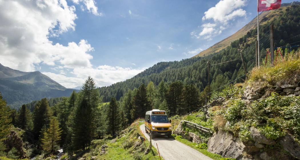
The route is signposted as a mountain hiking trail (white-red-white, difficulty level T2). It is a simple tour that is also suitable for families with children. For motorized private transport, the Val da Camp is taboo. The starting point of the hike is the Alp Camp terminus of the Postbus line from Sfazù. Due to the limited number of spaces in the vehicles, it is essential to reserve in advance.
Directions
Public Transport
Shuttle bus - PubliCar
The tour can be shortened by using the shuttle bus from Poschiavo to Sfazù or to Alp Camp. Information and booking at Post Bus. Post Bus: T +41 81 844 10 42, info@balzarolo.ch, www.balzarolo.ch/de/personentransport
Timetable: www.sbb.ch/en
Responsible for this content: Valposchiavo Turismo.
This content has been translated automatically.

This website uses technology and content from the Outdooractive platform.