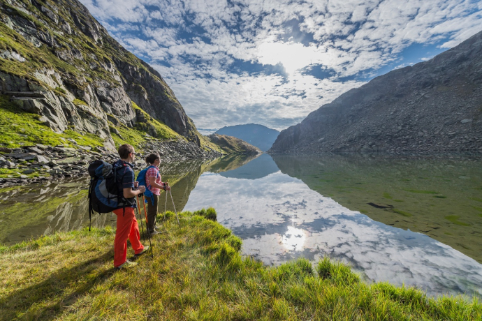
Disentis – Maighels Hut – Disentis


Show all 8 images

Details
Description
You load the gravel bike into the Rhaetian Railway in Disentis and take it in the direction of the Oberalp Pass to Tschamut (1645 m above sea level). From here you follow the still young Rhine towards its source. First, the Veloroute 3 leads you in the direction of the Oberalp Pass, in Surpalits (1831 m above sea level) you turn onto the mountain bike route no. 205. A steep gravel road takes you into high alpine terrain and with every pedal stroke the air gets a little thinner. In Siara (2174 m above sea level) you have the opportunity to tackle the last 900 meters and 176 meters of altitude difference to the source of the Anterior Rhine on foot. A steep and impassable path leads to Lai da Tuma (2345 m above sea level). If you prefer happiness on two wheels, follow the dirt road to the Maighels hut (2314 m above sea level) at Lai Urlaun. The hut is the highest point on the tributaries of the Anterior Rhine that can be reached by bike. A rest is more than deserved before you first follow the dirt road and then the Oberalp pass road back to Tschamut. In Selva, turn off the main road and take the Graubünden Bike Route 90 to Sedrun (1406 m above sea level). Here it is worth taking a short detour to the village to fortify yourself in "La Conditoria" with the smallest nut cake in the world. Via Surrein you reach the Uaul Cavorgia via the Muota Pigniel, which scores with its flora and a great panoramic view. The route takes you back to Disentis via Mumpé Medel. From afar you can see the imposing Benedictine monastery, which has shaped the village since the 13th century.
Responsible for this content: Graubünden Ferien.
This content has been translated automatically.


