High above the lakes - Piz Julier
Difficult
15.2 km
6:35 h
1565 mhd
1565 mhd


Show all 3 images

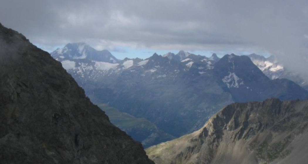
The Piz Julier is an exposed mountain and therefore offers a beautiful panoramic view.
Best Season
Jan
Feb
Mär
Apr
Mai
Jun
Jul
Aug
Sep
Okt
Nov
Dez
Start
Champfèr, Bus stop Post
Destination
Champfèr, Bus stop Post
Coordinates
46.478156, 9.813255
Details
Description
This demanding one-day hike begins in the small village of Champfèr, where the trail initially takes us through the forest and then into the Val Suvretta da San Murezzan. After passing Alp Suvretta we continue to the left-hand fork, where we also cross the mountain stream. From here onwards the ascent becomes steeper and we quickly gain height. The ridge at 2870 m is a welcome spot for a short rest. The route now follows the ridge and a certain amount of caution is required along the narrow path. Hikers who are not sure-footed or suffer from vertigo should leave out the ascent to the summit. While this alpine tour requires concentration, it rewards the hiker time and time again with wonderful views of the surrounding summits. The summit is reached at 3380 m and on a good day there are views of hundreds of mountain peaks. For the descent take the same trail back down to the valley.
More information
Engadin Tourismus AG
Via Maistra 1
CH-7500 St. Moritz
Phone: +41 81 830 00 01
E-mail: allegra@engadin.ch
Internet: www.engadin.ch
More information
Engadin Tourismus AG
Via Maistra 1
CH-7500 St. Moritz
Phone: +41 81 830 00 01
E-mail: allegra@engadin.ch
Internet: www.engadin.ch
Geheimtipp
If you take the Signal gondola, you will shorten the ascent a little.
Sicherheitshinweis
The white-blue-white path marking to Piz Julier indicates that this is an alpine route with easy climbing sections and alpine hazards, which therefore require a surefootedness and a head for heights as well as the proper alpine equipment.
Caution in uncertain weather: The summit ridge is exposed and long.
Directions
Champfèr - Alp Suvretta - Fuorcla Albana - Piz Julier - Fuorcla Albana - Alp Suvretta - Champfèr
Responsible for this content: Engadin Tourismus AG.

This website uses technology and content from the Outdooractive platform.


