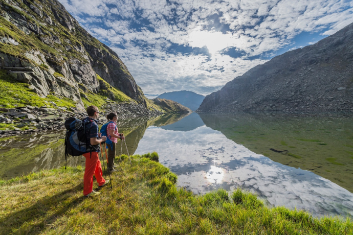
Piz Badus / Six Madun


Show all 7 images

Via the snow-covered Tomasee to Piz Badus with descent via the Maighelshütte.
Details
Description
Our tour begins at the Oberalp Pass with a short descent to Alp Milez. We follow the clearly visible track to the Maighelshütte until we reach the Plidutscha plain, after which we ascend in short hairpin bends to Lake Toma. The short section just before the lake is a little narrow but easy to do if the valley is well snow-covered. The lake is covered by a thick and stable layer of ice and snow. It is a magical place even in winter! At the end of the lake, continue to the summit. To cross the summit, we put our skis on the top section of the rucksack. There's not much room to sit at the summit cross, but all the more air around us.
The descent on the east side leaves nothing to be desired and we take a break at the Maighelshütte.After the hut, we have two options. Either we glide down the lower part of the descent on the pass road to Tschamut or we stay to the right of the Rhine, where we find more powdery slopes. Fortunately, we have allowed enough time for the ascent on foot to the railway station!
Ascent option: To Lai Urlaun below the Maighelshütte and on the east side to Piz Badus. Less demanding - descent on the same side.
Geheimtipp
The restaurant Rheinquelle in Tschamut is unfortunately closed!
Sicherheitshinweis
Crossing the summit is challenging.
The galleries on the pass road above Chamut no longer exist. In case of an unpleasant avalanche situation, switch to the right side of the river.
Ausrüstung
Safety equipment required
Directions
From the Oberalp Pass we descend to Alp Milez and then ascend on the marked hut trail towards Maighelshütte. After Plidutscha we turn right to Lake Toma. At the end of the lake, the route leads left up to the summit.
Directions
Public Transport
Anreise Information
Parking
Responsible for this content: Sedrun Disentis Tourism SA.
This content has been translated automatically.

This website uses technology and content from the Outdooractive platform.

