Piz Mundaun - Ilanz via Undermatt


Show all 11 images

Details
Description
The ascent is by post bus from Ilanz to Surcuolm and by train from Cuolm Sura to Piz Mundaun. Only around 300 meters in altitude have to be mastered under your own steam. This is from Surcuolm to Cuolm Sura and a short stretch from Flond.
At least you can save 1100 meters of ascent without having to put up with the accusation that you didn't pedal at all. Many single trails, some of them newly built, short sections on alpine roads and forest paths take you back to the starting point in less than two hours, where most people sum up that it wasn't just the view that was remarkable.
Caution: There is a detour shortly before Luven due to the risk of falling rocks. This is clearly signposted in the terrain and the route has been adapted accordingly. The village of Luven is thus bypassed. However, if you still want to visit Luven, you will have to pedal up a short ascent.
Geheimtipp
A visit to the viewing platform on Piz Mundaun is definitely worthwhile.
There are signalized variants between Cuolm Sura and Flond. These are marked blue, red or black. Choose freely. A little later you are back on the normal route.
You can even ride all the way up to Piz Mundaun on an e-MTB - technically challenging in places but great...
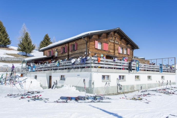
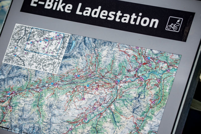
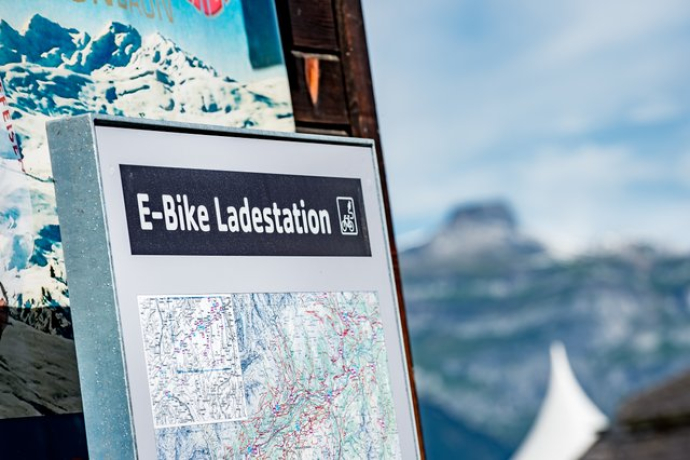
Stop off at Leo's Snackbar in Undermatt with an e-bike charging station - so that you can continue riding afterwards...
Sicherheitshinweis
The tour should not be undertaken in uncertain weather conditions. Weather changes are frequent in the mountains. If a rain front or similar is approaching during the hike, you should turn back in good time.
144 Emergency call, first aid
1414 Mountain rescue REGA
112 International emergency call
Ausrüstung
Directions
Directions
Public Transport
Anreise Information
Continue by public transportation:
Postbus: BUS 451 direction Obersaxen, Friggahüs; bus stop: Surcuolm, posta
Pedal up from Surcuolm to Cuolm Sura
Mountain railroads: Cuolm Sura - Piz Mundaun
Parking
Responsible for this content: Surselva Tourism.

This website uses technology and content from the Outdooractive platform.


