Stage 4 Gravel Bike Route Hinterrhein: Andeer – Lai da Vons – Splügen


Details
Description
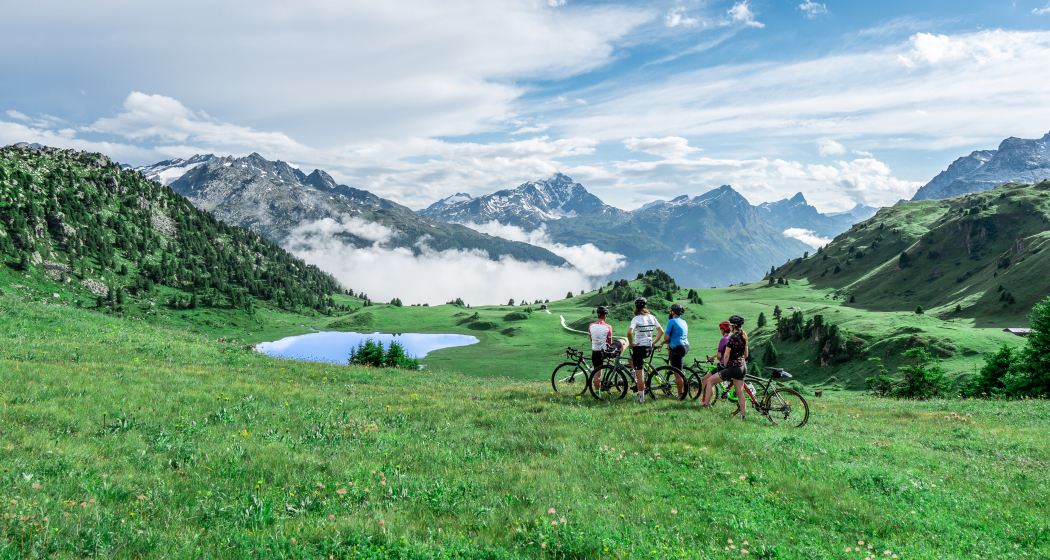
The road from Andeer (982 m above sea level) in the direction of Lai da Vons ascends without mercy. As you climb higher and higher through the forest of the Tranter Tschaingel, you’ll get to enjoy wonderful views over the whole valley. At Pastgaglia, you have almost already climbed up one thousand meters and will leave the tree line behind you. There will hardly be any flat roads to offer a chance to take a breath. You do have to persevere for a bit. Turn left once you reach Larisch. The natural road is now a bit bumpy. Shortly after the highest point of the climb (2050 m above sea level), you’ll be able to see the Lai da Vons (1994 m above sea level). In the tranquility of nature, enjoy the epic panorama, pat yourself on the back and roll down the mountain to Sufer's. The cycle route no. 505 "Rheinwaldroute" takes you through the valley floor of the Rheinwald to Splügen (1458 m above sea level), the oldest pass village in Graubünden.
Stages
Stage 2: Thusis – Glaspass – Thusis
Responsible for this content: Graubünden Ferien.
This content has been translated automatically.

