Stage 6: Walserweg

Medium
11 km
5:00 h
1450 mhd
280 mhd


Show all 9 images

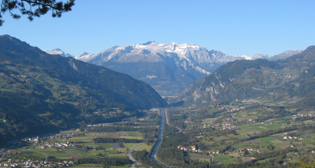
Climb to the scenic vantage point of Burg Hohenrätien (castle) and the prehistoric rock drawings at Crap Carschenna. Up a narrow trail to the forest clearing at Crocs. Flower-filled hay meadows on Muttner Berg. Typical Walser settlement of Obermutten with tiny timber church.
Best Season
Jan
Feb
Mär
Apr
Mai
Jun
Jul
Aug
Sep
Okt
Nov
Dez
Start
Thusis
Destination
Obermutten
Coordinates
46.698193350017, 9.4403442534968
Details
Description
Climb to the scenic vantage point of Burg Hohenrätien (castle) and the prehistoric rock drawings at Crap Carschenna. Up a narrow trail to the forest clearing at Crocs. Flower-filled hay meadows on Muttner Berg. Typical Walser settlement of Obermutten with tiny timber church.
Geheimtipp
More information: www.walserweg.ch
Ausrüstung
Mountain boots, daypack
Directions
The exact directions can be found in the book "Walserweg Graubünden", Rotpunktverlag. The route is consistently signposted with the route number 35. However, description and signaling do not replace a hiking map.
Responsible for this content: SwitzerlandMobility.
This content has been translated automatically.


