Trailrun Savognin - Cunter - Salouf - Riom - Savognin
Closed
Medium
14.1 km
2:10 h
591 mhd
557 mhd


Show all 7 images

A trail run circuit via Salouf back to Savognin.
Best Season
Jan
Feb
Mär
Apr
Mai
Jun
Jul
Aug
Sep
Okt
Nov
Dez
Start
Savognin
Destination
Savognin
Coordinates
46.598272, 9.591363
Details
Description
A trail run circuit from Savognin via Cunter, Salouf, Riom back to Savognin.
Geheimtipp
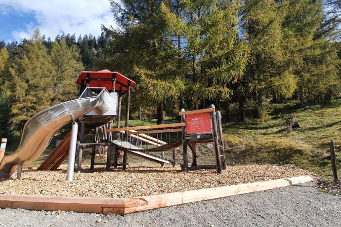
Take a breather on the forest play trail of Laresch.
Directions
Trail run from Savognin up to Laresch's playground, continue on the way from Cunter to Burvagn. Cross the road there and from Lai Burvagn up to Salouf. From Salouf up to Salaschigns. In front there down to Riom and back to Savognin.
Directions
Public Transport
By Postbus to Savognin, posta
Anreise Information
Via Chur, Thusis, Tiefencastel to Savognin
Parking
Parking in Savognin
Responsible for this content: Tourismus Val Surses Savognin Bivio AG.
This content has been translated automatically.

This website uses technology and content from the Outdooractive platform.


