Trailrun Savognin - Motta Palousa - Savognin


Show all 4 images

A very nice tour for trail runners with physical experience. The downhill was a bit technically easy on the forest road. The varied trails on the ascent, the beautiful high-altitude trail and the great view from the summit are the highlights of the tour.
Details
Description
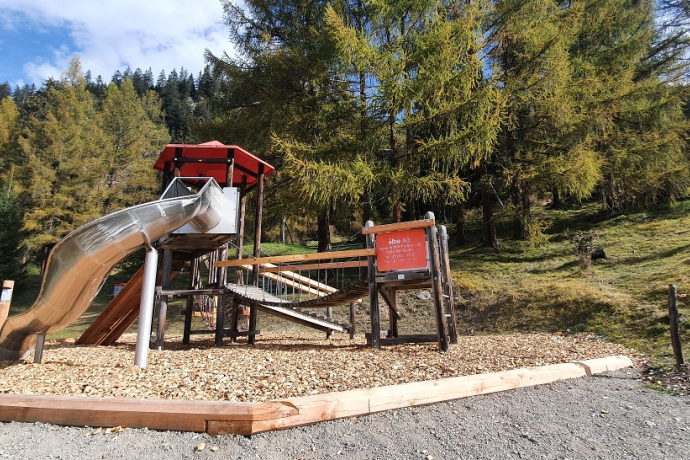
The tour starts in the upper part of the village of Savognin. After a short stretch on asphalt, you soon move on beautiful forest paths with a pleasant but steady gradient. After about 5 km, most of the altitude meters are done and flowing trails lead through a beautiful mountain landscape. The high-altitude trail from the roof of the tour to the summit of Motta Palousa is pure trail running pleasure. Once at the summit, the impressive panoramic view invites you to take a short break. Then go back along the same route for a few hundred meters until the path branches off to the right. At the beginning, the downhill is steep and a bit rough with loose stones. Soon the forest road becomes quieter and leads gently downhill. At the Maiensäss Promastgel there are drinking fountains. After more downhill kilometers, the viewpoint at the pavilion offers the opportunity to pause for a moment. Shortly afterwards, the lowest point is reached and the trail leads slightly hilly past barbecue and playground areas back to the starting point in Savognin.Tip: Return via the varied trails as on the ascent, instead of via the forest road.
Geheimtipp
If you want, you can also take the bike and hiking bus to Plang la Curvanera and start from there. For more information, see valsurses.ch/transport
Responsible for this content: Tourismus Val Surses Savognin Bivio AG.
This content has been translated automatically.

This website uses technology and content from the Outdooractive platform.


