ViaValtellina


Show all 9 images

Details
Description
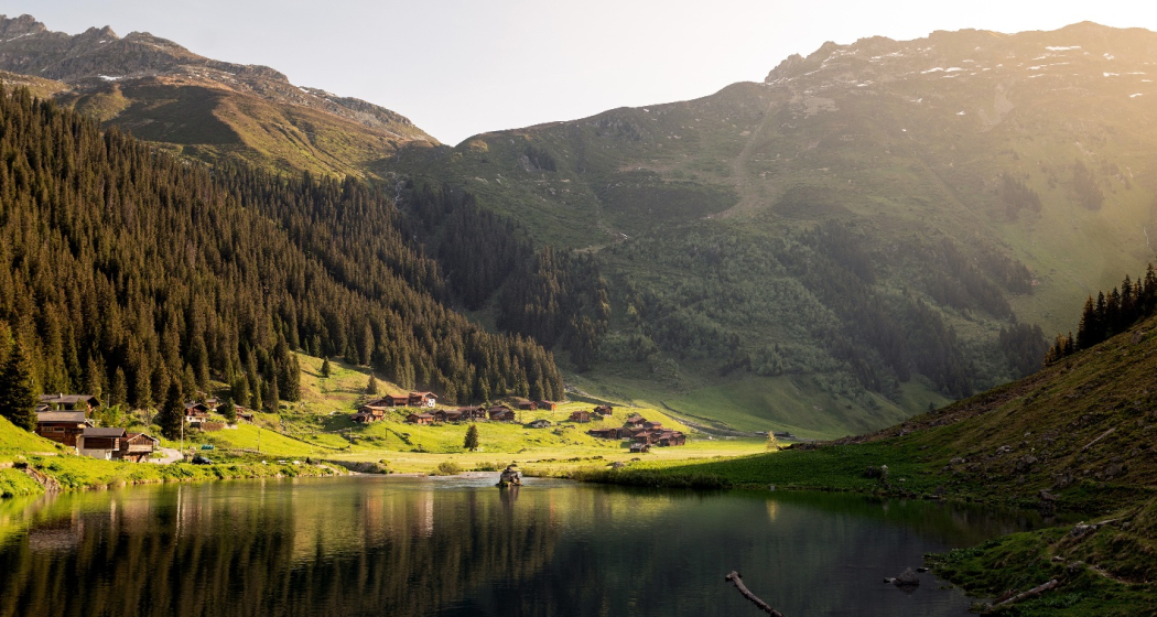
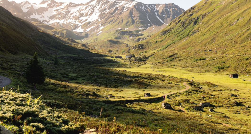
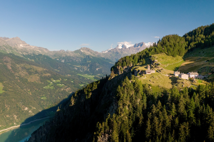
The ViaValtellina leads along a former pack-mule track for Veltliner wine, from Montafon over the Bernina, Scaletta and Schlappiner Joch Passes to Tirano in Veltlin. The long-distance route, through a variety of natural and cultural landscapes, can be split into seven one-day stages.
Three language regions are crossed; from the German-speaking Walser settlements in Montafon, Prättigau and Landschaft Davos through the Rhaeto-Romanic high valley of the Engadine to the Italian-speaking valleys of Poschiavo and Veltlin. You hike through several vegetation stages, from the raw Alpine climate on the pass summits to the warm air of Tirano in the south.
Famous holiday resorts such as Schruns, Klosters, Davos and Pontresina alternate with remote side valleys such as Schlappin-Tal or Val Funtauna. Picturesque hamlets with melodic names like Susauna, Chapella and San Romerio offer an invitation to linger. And with the views of the majestic mountain world on the Bernina, hardly anyone will think about the vineyards and Palazzi waiting in Tirano some 30 km further on.
Geheimtipp
Directions
Directions
Public Transport
This tour can be simplified by public transport.
Are you planning a multi-day tour? Buy our graubündenPass and enjoy free travel throughout Graubünden. Available here!
Responsible for this content: SwitzerlandMobility.
This content has been translated automatically.


