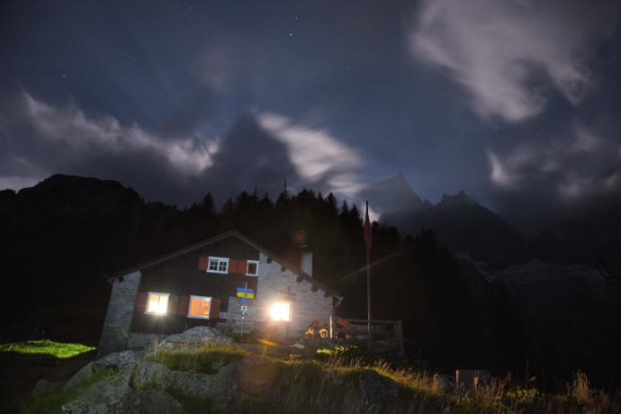
Bondo - Capanna Sasc-Furä


Show all 5 images

Details
Description
The hike to the hut itself is also a worthwhile destination. The trail follows old tracks on the western side of the Val Trubinasca, and at the highest point meets the path from the Trubinasca Pass to the Sasc Furä Hut. The old hut trail via Val Bondasca is no longer accessible and closed since the landslide on the Cengalo!
On a small extension, the Sasc Furä ridge towards the unmistakable Badile north ridge, you have an excellent view and can watch the climbers on their various ascents. The refuge also serves as a starting point for the tour over the Passo della Trubinasca.
Hidden Gem
Safety Note
Equipment
Directions
Instead of crossing the bridge at Punt Marlun, we follow the mountain path that climbs to the right. The steep, well-marked path leads up to Alp Cugian. We continue on the path and keep left at the fork near the Luvartigh Alp. From here the path becomes a little more demanding. It goes around Salecina and crosses several stream valleys with a lot of ups and downs. Reaching Valun della Turbinasca, the trail crosses a gravel slope and continues upwards until it meets the trail from the Turbinasca pass at the highest point. From here, we continue to the left to the clearly visible Sasc-Furä hut.
Directions
Public Transport
Travel Information
Responsible for this content: Bregaglia Engadin Turismo.

This website uses technology and content from the Outdooractive platform.

