Kronenwanderung (12 Etappen)


Show all 10 images

Details
Description
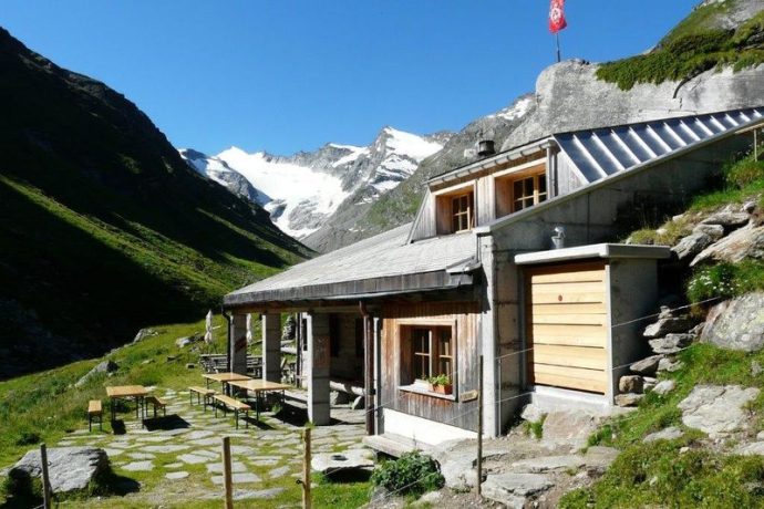
The crown of the Surselva is an impressive and sometimes challenging circular hike from hut to hut in Graubünden. It connects the seven mountain huts in the Surselva – the Vorderrheintal between Flims and the source of the Rhine at the Oberalp Pass, including the valleys of Vals, Lumnezia and Medel.
Framed by various 3000m peaks of Graubünden, it leads through romantic mountain villages, lonely high valleys, past glaciers to unique geological formations and spectacular viewpoints.
The section: Val Russein - Val Gliems - Camona da Punteglias is an alpine hike (T4): the route is technically demanding and on some sections you need your hands to move forward. Due to long sections and considerable differences in altitude, it also requires good fitness and experience in the mountains. The trail is not continuous on official hiking trails (without official signaling) and therefore requires good orientation.
The round trip starts in Disentis and is done clockwise. It can be divided into worthwhile parts stages and can be started well at different starting points.
Geheimtipp
Sicherheitshinweis
Attention: On high-altitude sections, snowfields are possible until the summer months.
In uncertain weather conditions, the tour should not be started. Weather changes in the mountains are frequent. If a rain front or similar comes up during the hike, you should turn back in time.
Ausrüstung
Directions
Directions
Public Transport
Anreise Information
Parking
Responsible for this content: Surselva Tourism.
This content has been translated automatically.

This website uses technology and content from the Outdooractive platform.


