Stage 1: Alpine Passes Trail


Show all 5 images

Details
Description
The Alpine Passes Trail covers almost 700 km between St. Moritz and St. Gingolph. Over the total of 39 stages on this route, hikers gain 40,000 meters in altitude – and they also descend by 40,000 meters. A new world awaits you with every valley and every pass along the route. St. Moritz, the luxury holiday resort set in the Upper Engadine lake district, has already achieved worldwide renown. The funicular takes you up to the starting-point in Corviglia, at 2,488 meters above sea level. Now, if not before, you gradually leave the glitter and glamour behind you. The trail passes by Lej Alv lake, with the peaks of Sass Corviglia, Piz Saluver and Sass Nair reflected in its waters; then it winds up through the valley to Fuorcla Schlattain at 2,872 m.a.s.l. The last section is quite steep, so you will be perspiring! You then descend to the Suvretta Pass via Lej da la Pêsch. Lej Suvretta is a beautifully situated lake surrounded by Alpine landscape, with the peaks of Piz Nair (3,055), Piz Suvretta (3,143), Corn Suvretta (3,071) and Piz Güglia (3,380).
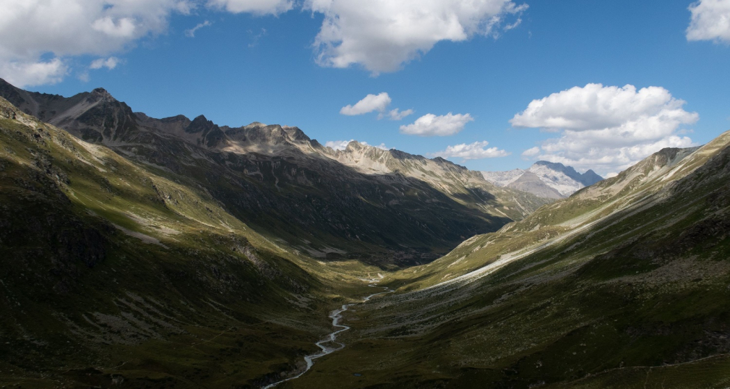
The hiking trail branches off to the left, with sweeping views of Suvretta da Samedan valley. The next 400-meter climb is steep. The partially exposed route includes some short climbs, and then – about an hour later – you are standing atop Fuorcla Suvretta, at almost 3,000 m.a.s.l. At the highest point on this stage, you have left all traces of civilisation behind you. In view to the south: the snow-clad Piz Bernina peak and the Morteratsch glacier. On the other side: a lunar stage-set that resembles an amphitheatre. Piz Traunter Ovas, with its red glow, will also catch your eye. This effect is caused by the sun shining on the mountain's iron-rich rock.
Now comes the descent, which is steep and slippery. Shortly after reaching the floor of the "amphitheatre", you will have a view into the splendid Val Bever, a valley that stretches for about 15 kilometers as far as Bever. Rock debris terrain gives way to grassland. Leaving the bend to the left behind you, the superbly located Jenatsch hut comes into view on the hill. Now, the vistas extend even further into Val Bever. After crossing the river, you tackle the final ascent to the highest SAC hut in Graubünden, at 2,651 m.a.s.l. It blends perfectly into the mountain landscape between Piz Picuogl and Piz Jenatsch. It's just a pity that the glacier cannot be seen at all nowadays; back in 1893, it extended almost as far as the hut.
Responsible for this content: SwitzerlandMobility.


