Stage 1: Vier-Quellen-Weg


Show all 16 images

Details
Description
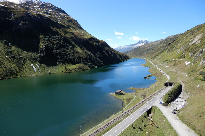
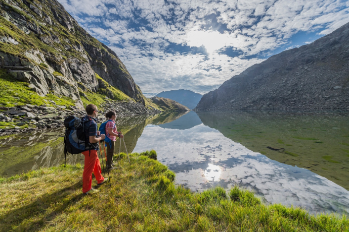
Hike from spring to spring and spend the night along the route: The Four Springs Trail in the Gotthard region allows you to explore the area where four rivers have their source in five daily stages. Experience the moated castle and the weather divide of Europe on the Four Springs Trail. In the legendary Gotthard massif, you hike to the four springs of the Rhine, Reuss, Ticino and Rhone, which flow in all four directions. The alpine hiking trail is divided into five daily stages.
The first stage starts at the Oberalp Pass and ends at the Vermigelhütte. The path leads to the source of the Rhine at Lake Toma. The Rhine then flows through the canton of Graubünden and to the Rhine Falls in Schaffhausen. From there, the Rhine then runs via Basel through Germany to the sea in Holland. From Lake Toma, the route continues over the Maighelspass, where the idyllic Portgerensee invites you to linger. Then you tackle the descent to Vermigelhütte.
Geheimtipp
Extension of the route: Oberalp Pass - Pazolastock - Badushütte - Tomasee - Maighelshütte/Vermigelhütte (takes 2h longer than the normal route)
Sicherheitshinweis
Hikers should keep an eye on the weather forecast in advance, as parts of the hike are located at over 2000 m above sea level and therefore light snowfall can occur in extreme cases.
Ausrüstung
- Clothing suitable for the weather
- Good footwear
- Hiking poles are recommended
Directions
Directions
Public Transport
Hikers can take the train from Andermatt or Sedrun to the Oberalp Pass. The timetable is as follows: Matterhorn Gotthard Railway
Anreise Information
Hikers can reach the starting point by car via the Oberalp Pass from Andermatt or Sedrun. However, it is recommended to park the car in Andermatt and take the train to the Oberalp Pass, as the start and finish points are not the same.
Parking
It is recommended to park the car in Andermatt and take the train to the Oberalp Pass, as the start and finish points are not the same. In Andermatt you will find parking facilities directly at the train station. Alternatively, however, there are also parking spaces on the Oberalp Pass.
Responsible for this content: SwitzerlandMobility.
This content has been translated automatically.


