Surselva 4-day round trip by (e)-bike


Show all 17 images

Details
Description
From Ilanz, the first town on the Rhine, you cycle more or less comfortably along the Rhine gorge to Versam on the first day. Then the long ascent begins along the valley road into the wild and romantic landscape of the Safiental valley to the stage destination of Thalkirch. Don't forget your bike light on this day. The long tunnel and the two galleries urgently require light.
Day 2
The royal stage is on the program for the second day. It goes straight up steeply to the roof of the tour, the Tomül Pass. After the sometimes challenging (S2) descent to Vals, you can treat yourself to lunch here. Strengthened, you roll along the main road to Uors. Now follows the second ascent of the day into Val Lumnezia via bike routes 1 and 222 to Vrin and onwards along cool trails to the stage destination of Lumbrein.
Day 3
The third day starts again with a climb up to Alp Nova. Unfortunately, rolling in is not on the agenda today. On the other side, however, you are rewarded with a beautiful descent via Obersaxen down to Trun. However, the ascent via Schlans to the stage finish in Brigels again requires a well-filled battery or strong calves.
Day 4
The last day scores above all with downhill meters instead of altitude meters. First you ride via Andiast to the Lag da Pigniu reservoir with its fantastic waterfalls at the far end. Then you ride via Pigniu to Siat and on to Ruschein. Enjoy the view for the last time and then head into the final descent back to the starting point of this 4-day tour in Ilanz. If you still haven't had enough, spend the night in the lively little town and go on more beautiful bike tours or hike through the Rhine Gorge, the Grand Canyon of Switzerland.
Geheimtipp
Day 1
- From Carrera, you can also take the road to the Bärgli gravel works. Here the route follows the trail (S2).
Day 2
- Departure Tomülpass - Vals: After Schnidlabüdemli, take the hiking trail to Vals. This is quite rough in places (S2-3). However, you can always switch back to the road.
- If you have strong calves - or enough battery - you can ride to the village of Tersnaus and cruise down to Peiden Bad on the new SwitzerlandMobility 222 Nino Schurter Bike. Officially in the opposite direction, but this is no problem if you ride carefully. Then take the main road back to the route to Uors.
- After Surin, you can take the shortcut directly via the road (up and down) to the stage finish in Lumbrein.
Day 3
- From Sassli you can recharge your batteries at the Wali mountain restaurant. Please note: the restaurant is closed for renovation in 2024.
Day 4
- Departure Ruschein - Ilanz: Take the road to Ilanz. However, the trail is mostly easy to ride (S2).
Sicherheitshinweis
144 Emergency call, first aid
1414 Mountain rescue REGA
112 International emergency call
Ausrüstung
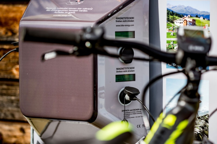
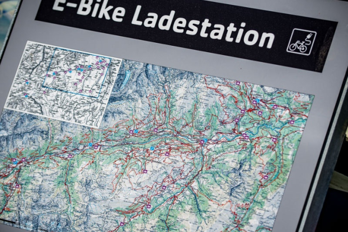
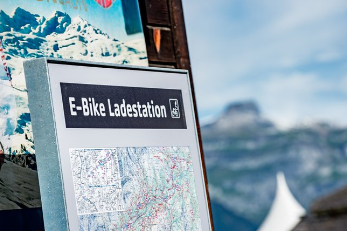
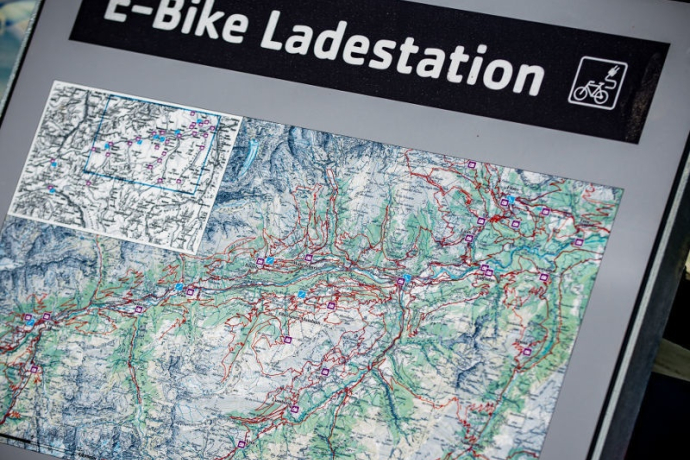
Are you traveling with an e-bike? There are various e-mountain bike charging stations along the route where you can recharge your battery.
Please note! It is possible that your charging cable is missing, stolen or defective. If you want to be on the safe side, we recommend that you take your own charging cable with you. Each charging station also has a normal (CH) 3-way socket.
Directions
Stage 1: Ilanz railroad station - Mulin Sut - Castrisch-Schluein bridge - Schluein - Sagogn - Valendas railroad station - Valendas village - Carrera - Versam - Safien Platz - Safien Thalkirch
1800 hm, 880 tm, 42 km
Stage 2: Thalkirch - Tomülpass - Alp Tomül - Schindlabüdemli (see trail variant from here on under the author's tip) - Vals - Uors - Surcasti - Silgin - Surin - Vrin - Vallargia - Lumbrein
1800 hm, 2100 tm, 48 km
Stage 3: Lumbrein - Alp Sezner - Alp Nova - Alp Prada (see from here on trail variant under author's tip) - Alp Stavonas Sura - Wali - Sassli - St. Martin - Hanschahüs - Zignau - Trun - Schlans - Plaun da Plaids - Brigels.
1600 hm, 1800 tm, 38 km
Stage 4: Brigels - Waltensburg - Andiast - Lag da Pigniu - Pigniu - Sogn Francestg - Dalpaleus- Siat - Mulin - Ruschein (see from here on trail variant under author's tip) - Tischinas - Schnaus - Ilanz.
800 hm, 1400 tm, 31 km
Directions
Public Transport
Anreise Information
Parking
Responsible for this content: Surselva Tourism.

This website uses technology and content from the Outdooractive platform.


